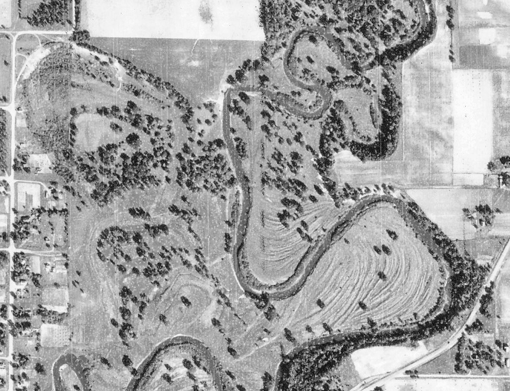
Presumed area of Princeton Golf Course, 1939 aerial photo, University of Minnesota’s John Borchert Map Library. The course likely had shut down about four years earlier, so most of its features aren’t readily apparent to me (high water on the Rum might have significantly changed the look of the area). The street on the far left is 5th Avenue North, with Pioneer Cemetery at the top-left corner.