Elsewhere on this site, you can find my post on two long-lost Minnesota island golf courses, Coney Isle Golf Course in Waconia and Circle Island Golf Course in Rice County (Faribault/Northfield area). This post features some photos that I didn’t post in that story. I’ll apologize for not making this digitally more attractive, but that is beyond my current technological pay grade, which is to say zero.
CONEY ISLE
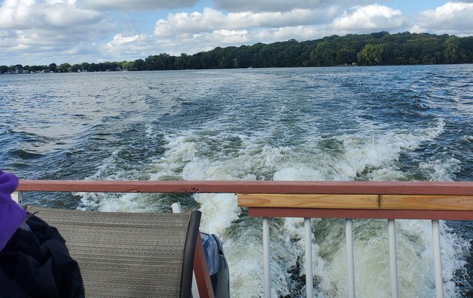
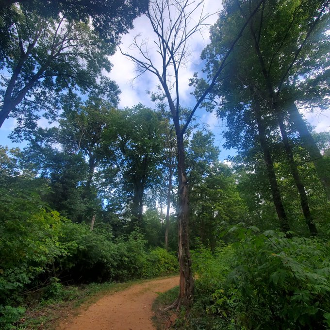
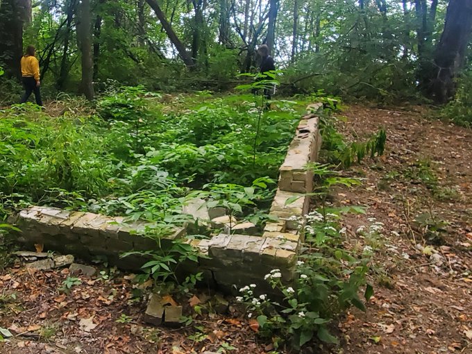
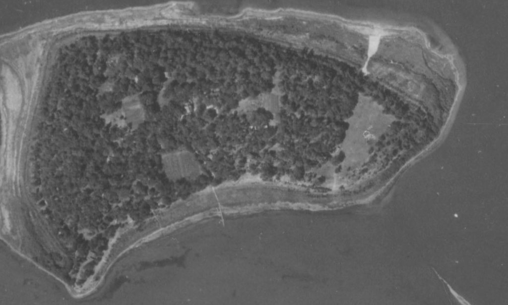
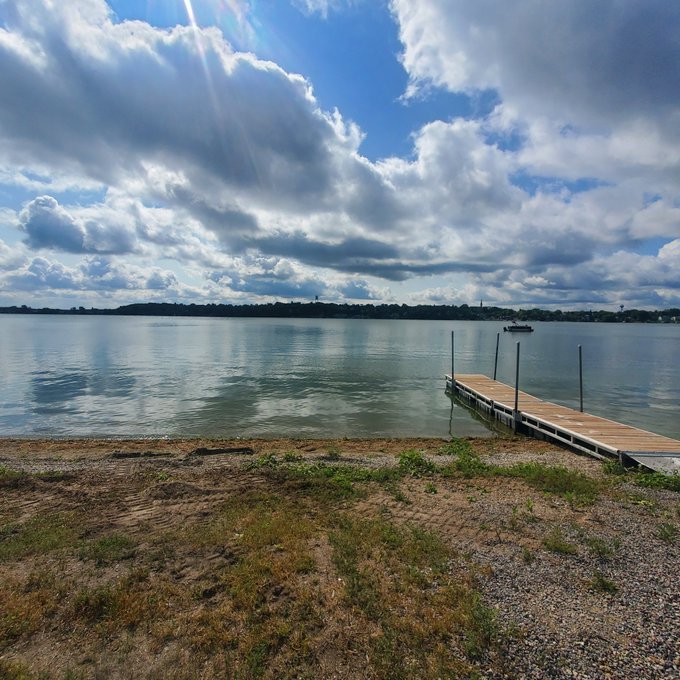
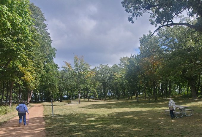
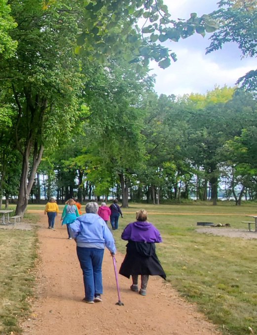
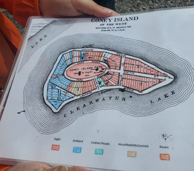
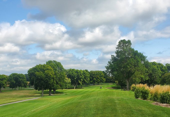
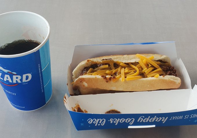
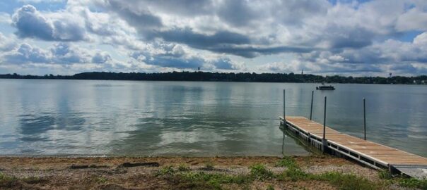
Left to right, top to bottom: The boat ride to Coney Island of the West on Lake Waconia; tall trees line the paths in Lake Waconia Regional Park; an old foundation, probably of a cottage; 1938 aerial photo shows partial view of Coney Island of the West – golf course area would have been at the far right (gleaned from University of Minnesota’s John Borchert Map Library); shore landing near the site of the old Coney Island Golf Course; (two photos) open area where the course was staged; plat drawing of Coney Island in its earlier days (provided by Carver County Historical Society); nearby Island View Golf Club; (last photo) it seemed to me no road trip to the island would be complete without a visit to Waconia’s Dairy Queen, and a quick lunch featuring, yes, a coney.
CIRCLE ISLAND
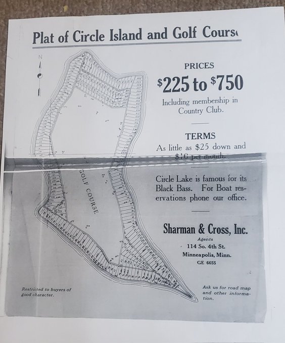
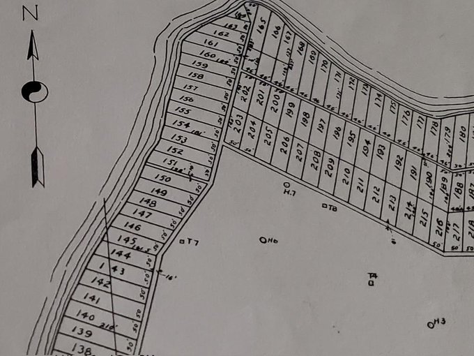
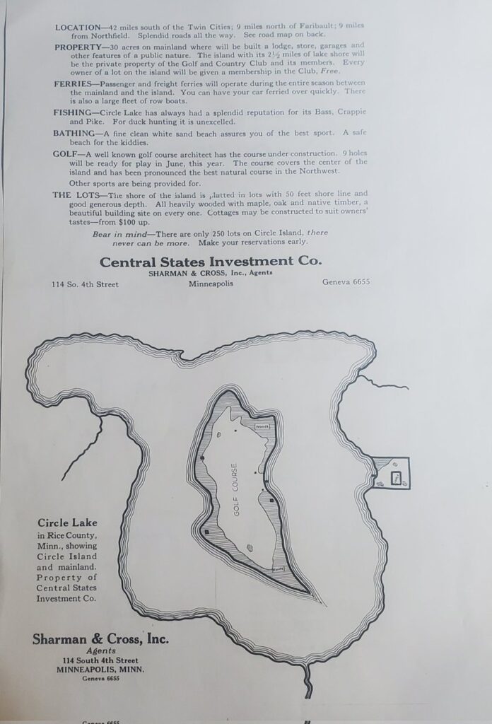
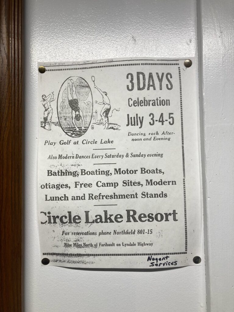
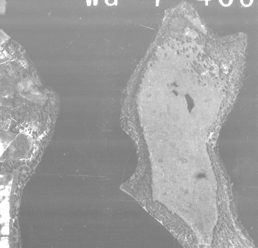
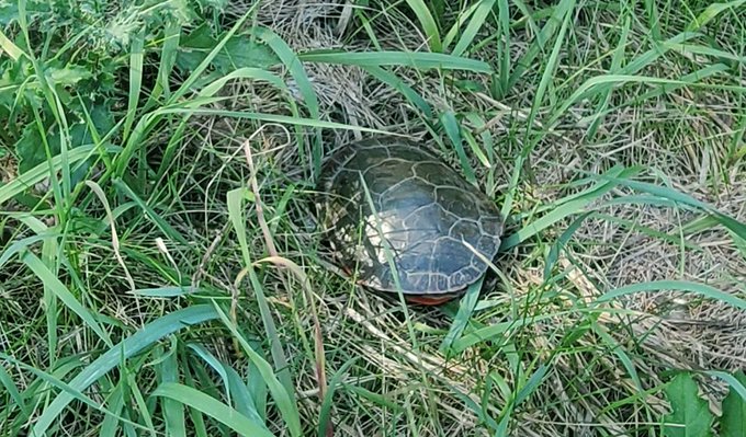
Left to right, top to bottom: Old publicity flier, presumably issued close to the course’s 1924 opening; closer look includes residential plot numbers plus, in the open area, designations of tee and green locations on the golf course; another publicity flier; 1926 ad; 1938 aerial photo, via Borchert Map Library; one modern day view – this turtle was basking in the autumn sun near the eastern shore of Circle Lake. Seems it would have stood little chance of securing a tee time after a swim to the island, because, well, you know, turtles would have been notorious for — don’t wait for it — slow play.
Flier images courtesy of Rice County Historical Society. Modern-day photos by Joe Bissen.