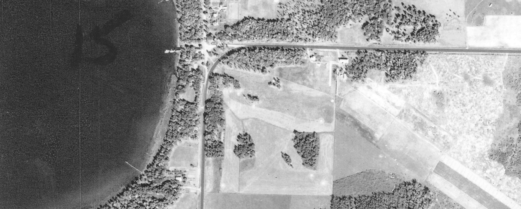
1939 aerial photo of Bay View Hotel golf course, courtesy University of Minnesota’s John Borchert Map Library. Lake Mille Lacs is on the left; the hotel’s old airstrip runs diagonally near the bottom-right corner of the photo. A few of the course’s sand greens are clearly visible as small, bright, white circles.